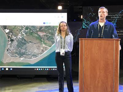
Geospatial Analysis students present before GIS professionals
Geospatial Analysis students from Fairfax High School presented their work before an audience of Geographic Information Systems (GIS) professionals at the Esri Federal GIS User Conference in Washington D.C. This conference typically draws about 5,000 federal, state, and local GIS professionals from the DC region.
In January, students in Geospatial Analysis mapped, analyzed, and reported on natural disasters that occured in 2019 as a collaborative midterm project. Projects utilized satellite imagery, GIS data creation, spatial analysis, and storytelling using Esri Story Maps. Rylie, Jack, and Elisa represented their classes and shared examples of at the FedUC, including details about Intense Tropical Cyclone Adai, the 2019 eruption of Stromboli, and other events.
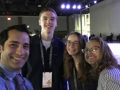
The students attended the remainder of the conference where they heard presentations by GIS professionals and geographers, met college and company representatives, and attended workshops including one on the "tracking of maritime threats."
Geospatial Analysis is a dual-enrollment course focusing on problem-solving using mapping and GIS technology. It is offered at five high schools in Fairfax County through James Madison University and is taught at FHS by Jason Smolinski.